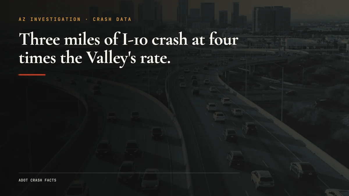
You can drive the Deck Park Tunnel to the I-10/I-17 split in about three minutes on a clear afternoon. The stretch is just under three miles. It’s how tens of thousands of people move through central Phoenix every day.
ADOT hired its own safety consultants to grade it. They came back with the worst score on the scale.
The firm, Kittelson & Associates, found this 3-mile run crashes at approximately four times the rate of comparable segments in the regional freeway system, and they placed it at Level of Service of Safety IV, the worst of four safety tiers. That isn’t a number from a personal-injury billboard or a viral list. It’s the state’s own contracted engineers, in the state’s own technical record.
And their diagnosis is blunt: the crashes aren’t happening because Phoenix drivers are particularly reckless. They’re happening because the road was designed to fail. It’s the same pattern we found in Arizona’s pedestrian deaths, where the geometry, not the people, drives the body count.
The Cut: The Worst Safety Grade on the Scale
The headline finding comes from ADOT’s own technical record. The Deck Park Tunnel Energy Efficiency Study Update technical memorandum cites the Kittelson & Associates I-10 safety study and states the corridor’s crash rate runs “approximately four times the mean rate for similar segments” in the regional freeway system, operating at Level of Service of Safety IV.
LOSS is a four-tier safety grade drawn from the AASHTO Highway Safety Manual. Tier IV is the bottom. It means a segment is crashing far above what its traffic volume and configuration would predict. Most freeway miles never approach it. This corridor sits in it.
How does that compare to Arizona roads generally? Measured against the whole state, the gap is even starker. AZ Law Now computed the corridor’s rate per 100 million vehicle miles traveled, the standard yardstick for comparing roads of different lengths and volumes, against all Arizona roads, as a secondary check on the consultants’ “comparable freeways” finding.
Arizona had 122,247 total crashes in 2023, per ADOT’s Crash Facts publication, against roughly 76,165 million vehicle miles traveled. That works out to about 160 crashes per 100 million VMT statewide. The corridor carries roughly 300,000 vehicles a day, ADOT reports, which over a 3-mile segment is about 328.5 million VMT a year. ADOT’s project page reports more than five crashes a day on the corridor (more than 1,825 a year), which divided by that VMT yields more than 555 crashes per 100 million VMT.
More than 555 versus roughly 160 is more than three times the all-Arizona average, per mile driven, computed by AZ Law Now from ADOT’s own figures. Against the Valley’s comparable freeways, the consultants’ own measure, the corridor runs about four times as crash-prone. We’ve run the same crash-rate math on I-10 west of here, between Buckeye and Goodyear, and no other stretch we’ve measured grades out this badly.

The grade isn’t abstract. ABC15, reporting on the regional safety study, quoted the I-10 corridor study manager that at least one serious-injury or fatal crash happens on this stretch every month. And in ABC15’s analysis of 2017 ADOT data, milepost 145, inside this corridor, was the single most crash-prone milepost on I-10 anywhere in the Valley. ADOT designated the surrounding stretch a Safety Corridor in January 2017. (ABC15, reporting on the corridor, framed it as an average of more than five crashes a day, a figure drawn from ADOT’s 2016-2021 project data. We cite that framing as context here, not as our headline.)
Why the Road Crashes: A Design Diagnosis
The most important sentence in ADOT’s project record doesn’t come from the project page. It comes from the Kittelson & Associates safety study that ADOT commissioned.
Kittelson, a nationally recognized traffic safety consultancy, was hired as ADOT’s contractor to study this corridor. Their finding, published on their project page and confirmed by fetch, is direct: the high crash frequency is attributable to “substantial weaving associated with two system interchanges, continuous HOV lane access and a tunnel.”
That’s a design indictment, not a behavioral one.
Here’s what that means in practice. The Deck Park Tunnel to I-17 Split corridor packs an extraordinary amount of infrastructure into three miles of freeway. Drivers entering the corridor from downtown Phoenix face the tunnel, then a weave to reach the HOV lane, then the Mini Stack interchange where I-10 and I-17 diverge, all while traffic from multiple on-ramps is merging in.
The Maricopa Association of Governments studied exactly how those movements collide. In its I-10/Papago Freeway Tunnel Traffic Operations Study, MAG’s engineers found the corridor’s weave sections failing in both directions. Drivers heading one way are forced to cross paths with drivers heading the other way over a stretch too short to do it safely. One documented weave gives a driver only about 1,100 feet, roughly the length of three football fields, to cross several lanes before the next decision point. At freeway speed that is a handful of seconds. When the room runs out, drivers either brake hard or clip the lane beside them.
The tunnel and the Stack were built to 1980s design standards. The Deck Park Tunnel and the Stack opened in 1990, engineered for the traffic volumes of that era. The corridor now carries roughly 300,000 vehicles a day, with 200,000 of those going through the tunnel itself. The geometry that made the weaves work for 1980s volume can’t absorb modern volume, and the failing weave sections are where that mismatch shows up as crashes.
The Human Toll
A safety grade on paper is easier to hold at arm’s length than the actual cadence.
According to ABC15’s reporting on the regional safety study, at least one serious-injury or fatal crash happens on this corridor every month. That is a named-official figure carried by the outlet, not a state document we could pull line by line, so we cite it as ABC15 reported it. Even taken conservatively, it describes a steady drumbeat: someone seriously hurt or killed on the same three miles, month after month.
Concentrated at one point above all others. In ABC15’s analysis of 2017 ADOT crash data, milepost 145, inside this corridor, was the single most crash-prone milepost on I-10 anywhere in the Valley. ADOT designated the surrounding stretch a Safety Corridor in January 2017, a label the state reserves for roads where the crash pattern justifies focused intervention.
These are the collision types a weaving corridor produces: the rear-end and sideswipe impacts that cause whiplash, spinal injuries, and traumatic brain injuries even when the vehicles themselves don’t look badly damaged. The drivers and passengers who walk away from this corridor’s crashes often don’t feel the full toll until days or weeks later.
When drivers run out of merge room, they either brake hard or clip the adjacent lane. On a corridor where two interchanges and an HOV entry/exit are packed into three miles, and where MAG’s engineers found the weave sections failing in both directions, there’s almost no segment where a driver isn’t actively merging, yielding, or being cut off. Kittelson’s finding that the design, not driver behavior, is the root cause reflects that the system itself generates the conditions for these collisions continuously.
The Fix and the Timeline
The improvement strategy ADOT is studying mirrors what worked at the Broadway Curve, a nearby I-10 reconstruction that used collector-distributor roads to separate through traffic from weaving traffic. The Broadway Curve project is ADOT’s proof of concept: pull the interchange movements off the main lanes and crashes drop.
The Deck Park corridor project is funded. Arizona voters approved Prop 479, a $15 billion, 20-year regional transportation program, at roughly 60% in November 2024. The Deck Park corridor improvements are in the program.
The timeline is the uncomfortable part. The project is currently in NEPA environmental assessment, with ADOT’s design work slated to begin in spring 2028 and construction phased after that. From a design start, right-of-way and construction typically take several more years. Without improvements, ADOT projects peak-hour delays on the corridor will increase by 60% by 2050. The grade the consultants gave it stands in the meantime.
Collector-distributor roads separate weaving traffic from through lanes by routing interchange movements onto a parallel roadway that rejoins the main freeway after the conflict zone clears. At the Broadway Curve, this design reduced crashes by eliminating the weave geometry that had made that corridor similarly hazardous. ADOT’s project page names the same approach for the Deck Park corridor. The environmental assessment is the next public milestone, with design slated to begin in spring 2028. Residents and commuters can comment on the proposed build alternatives during that process.
The Legal Frame
If you’re injured in a crash on this corridor, two Arizona statutes set the framework for recovery. Our guide to Arizona car crash law walks through both in detail, and an Arizona car crash lawyer can apply them to the facts of a specific corridor crash.
Arizona follows pure comparative fault under A.R.S. 12-2505. Your recovery is reduced by your percentage of fault, but it’s not eliminated by it. If you’re found 20% at fault in a rear-end collision, you collect 80% of your damages. The statute doesn’t bar partial-fault plaintiffs.
The deadline to file is two years from the date of the crash under A.R.S. 12-542. Missing that window typically forecloses the claim. If any government entity is potentially involved (ADOT design decisions, ADOT maintenance failures, anything touching a public body), Arizona’s Notice of Claim statute under A.R.S. 12-821.01 imposes a separate 180-day window. That clock runs from the date of the incident, not the date you hire an attorney.
These are factual statements about Arizona law, not legal advice for any specific situation.
Families hurt in crashes on the I-10 Deck Park corridor can reach AZ Law Now at (602) 654-0202 or through the contact form. Intake is confidential. Representation is on contingency.
What Happens Next
The EA process is the next major public milestone for this corridor. When ADOT publishes the draft EA and opens the alternatives for comment, that’s the window to get collector-distributor designs on the record and push for the fastest possible build. This report will update when that milestone lands.
In the meantime, the grade stands: LOSS IV, the worst safety tier on the scale, on a road that ADOT’s own consultants have diagnosed as a design problem about four times as crash-prone as comparable Valley freeways. That diagnosis doesn’t change a commuter’s route. It does change what the state owes the people driving it.
Related Coverage
For what to do in the first 48 hours after a crash, see the car crash first 48 hours guide. For the full legal framework, see Ron DeBrigida’s guide to Arizona car crash law, linked in The Legal Frame above.
Frequently asked questions
How dangerous is the I-10 Deck Park Tunnel corridor?
Why is this stretch of I-10 so dangerous?
Is ADOT doing anything about the I-10 Deck Park Tunnel corridor?
What is the Deck Park Tunnel?
What should I do if I'm in a crash on I-10 near downtown Phoenix?
Is Arizona a fault state for car crashes?
What is Arizona's statute of limitations for a car crash claim?
Sources & references
- Arizona Department of Transportation. Deck Park Tunnel Energy Efficiency Study Update Technical Memorandum (citing the Kittelson & Associates I-10 35th Avenue to Sky Harbor safety study, 2014). Retrieved June 2026, from https://apps.azdot.gov/files/CNS/F014701C/F014701C_Tech_Memo.pdf
- Maricopa Association of Governments. (2017). I-10/Papago Freeway Tunnel Traffic Operations Study. Retrieved June 2026, from https://azmag.gov/Portals/0/Documents-Ext/FLCP/I-10-Papago-Freeway-Tunnel-Traffic-Operations-Study-June-2017.pdf
- Arizona Department of Transportation. (2025). Deck Park Tunnel to I-10/I-17 Split Corridor Project Page. Retrieved June 2026, from https://azdot.gov/projects/central-district-projects/deck-park-tunnel-to-i10-i17-split-corridor
- Kittelson & Associates. (2025). I-10 Phoenix Corridor Safety Study. Retrieved June 2026, from https://kittelson.com/work/i-10-phoenix-corridor-safety-study
- ABC15. Safety improvements planned for the future of the tunnel and the I-10 corridor in the Valley. Retrieved June 2026, from https://www.abc15.com/news/operation-safe-roads/safety-improvements-are-planned-for-the-future-of-the-tunnel-and-the-i-10-corridor-in-the-valley
- ABC15. Most dangerous Phoenix highways: 2017's most crash-prone mileposts. Retrieved June 2026, from https://www.abc15.com/news/roads/most-dangerous-phoenix-highways-see-2017-s-most-crash-prone-mileposts
- Federal Highway Administration. I-10 Arizona / Papago Freeway Tunnel fact sheet. Retrieved June 2026, from https://www.fhwa.dot.gov/candc/factsheets/interstate10arizona.pdf
- Arizona Department of Transportation. (2024). Arizona Motor Vehicle Crash Facts 2023. Retrieved from https://azdot.gov/planning/traffic-safety/arizona-motor-vehicle-crash-facts
- Arizona State Legislature. A.R.S. 12-2505: Comparative negligence https://www.azleg.gov/ars/12/02505.htm
- Arizona State Legislature. A.R.S. 12-542: Limitation of actions, personal injury https://www.azleg.gov/ars/12/00542.htm